
Trace a Lafayette Street Step by Step
A useful street directory workflow moves from the most stable address key to the least certain people clue. Start with the modern situs address. Save the account, parcel, legal description, and mailing address from Boulder County Property Search. Then use the map to see the block, the recorder to test the deed chain, and the allowed voter report to compare registered names. Historical directories and newspapers add past occupants or businesses.
- Enter the street or full address in Boulder County Property Search. Save every parcel match and its legal description.
- Zoom the county property map or a Lafayette ArcGIS layer. Click the target parcel and note the parcels that share a boundary or face the same block.
- Search the recording index by legal description, subdivision, owner, grantor, or grantee. Keep the document number, date, role, and image status.
- Filter an allowed Boulder County voter report by street, address, ZIP, precinct, or name. Mark the report date and remember that confidential voters are excluded.
- For an older street trail, read the Lafayette city-directory shelf, the 1902 telephone record, newspapers, census indexes, and Sanborn maps.
This sequence makes the street directory a record trail rather than a guess. A parcel is not a household, and a mailing address is not proof that an owner lives at the situs.
Lafayette Street Search Fields
The Assessor's search bar accepts address, owner name, street name, subdivision, account, parcel, and S-T-R. S-T-R means section, township, and range, a land-description format. A map click helps when the street number is old, incomplete, or close to a city boundary. The result's Basic Property Info can show Address, Account Number, Parcel Number, Lot Size, Estimated Land Acres, Subdivision, Neighborhood, Market Area, Legal Description, Owner, and Mailing Address.
| Portal field or result | How it helps an address search |
|---|---|
| Address or street | Finds situs parcels along a named road; verify the city and nearby jurisdictions. |
| Owner name | Tests a person or entity against the current assessed owner field. |
| Account or parcel | Preserves a county key when a street number or name changes. |
| Subdivision and legal description | Bridges the property card to deeds, plats, and older address language. |
| Mailing address | Shows the tax-mail destination, which may differ from the physical situs. |
| Neighborhood and market area | Adds county classification, not a list of people on the street. |
The owner field is an assessed ownership result. It may name a trust, LLC, estate, or more than one party. The mailing field may point to an agent or a different town. Save both, label both, and do not turn either one into a claim about every current occupant.
Note: The legal description is often the strongest bridge from a current Lafayette street number to an older deed or plat.
Browse Lafayette Streets in GIS
Boulder County GIS has supported public mapping since 1987. Its parcel, road, address-range, precinct, zoning, flood, open-space, and land-use layers add context to a street directory search. Lafayette also publishes hosted ArcGIS layers for parcels, address points, city limits, streets, neighboring cities, zoning, land use, and the Old Town Neighborhood Overlay District. The layers help locate a parcel and its neighbors, but property details still come from the county property search.
Use zoom and pan to follow one street segment. Click the target parcel, then record the parcel or address link. Click adjacent parcels one at a time instead of assuming a visual block is a legal unit. Precinct, zoning, and flood boundaries are useful overlays, not lists of all people nearby. No official county page documented a dedicated radius or measure control, so disclose when the result came from visual parcel adjacency.
The Boulder County GIS page documents parcel, road, precinct, and public-data layers used to orient a Lafayette street search.
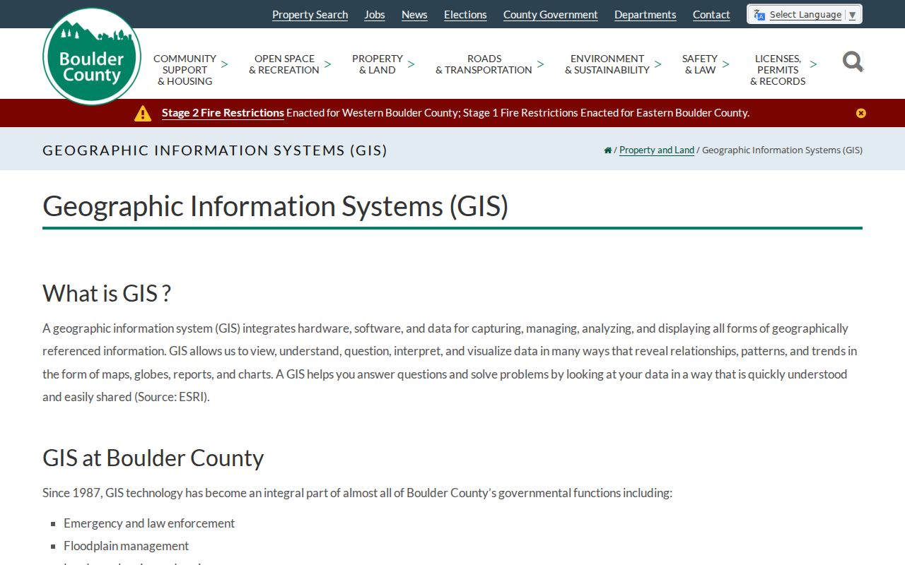
A GIS view can show which parcels touch a road or block, while the Assessor record supplies the account, owner, and legal bridge.
The City's Lafayette parcel layer complements the county map with city address and boundary geometry.
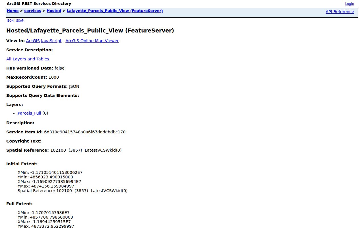
The city layer is a map aid. Follow a selected parcel to Boulder County for the official taxable property fields.
Note: GIS shows geometry and layers; Boulder County property records remain the source for assessed owner and legal parcel fields.
Lafayette Records Available by Street
Address-keyed records form the practical core of a street directory, but each set has a different keeper and limit. A parcel map shows geometry. A deed shows a transaction. A voter report shows allowed registration fields. A permit or code file may show work at an address, while an old directory shows a publication snapshot.
| Record set | Keeper | Street key | What it shows | Access |
|---|---|---|---|---|
| Assessor property roll | Boulder Assessor | Situs, account, parcel | Owner, mailing, legal, value and characteristics | Free Property Search |
| GIS parcel and address layer | County and Lafayette | Parcel, address point, road | Adjacent parcels, city lines, roads and overlays | Public map and data |
| Recorded deeds, liens and plats | Recording Division | Legal, grantor, grantee | Transfers, encumbrances, lot and subdivision clues | Free index; image/copy rules apply |
| Voter report | Boulder Elections | Residential address, ZIP, precinct | Allowed registered-voter fields and status | Download or request; exclusions apply |
| Permits and code files | City or county department | Address, parcel, date | Construction, inspection, alteration, or complaint clues | Request route; no full public search located |
| City directory and Sanborn map | Library, Carnegie, LOC | Street, block, building | Past occupants, businesses, footprints, materials | Library/archive or digitized item |
Use the parcel or legal description to tie the first three rows together. Use the report date for a voter file and the volume year for a directory. A street directory becomes reliable when the source label travels with every name.
Follow the Lafayette Deed Trail
Boulder Public Search has Quick Search and Advanced Search. Quick Search accepts a search term, recorded-date range, and either index-only or index-and-full-text scope. The prompt names grantor, grantee, subdivision, document type, and document number. Full-text uses OCR and can search an exact phrase. Search legal description and subdivision when an address returns nothing.
Grantor means the seller or transferring party. Grantee means the buyer or receiving party. For a current parcel, the present owner is often the grantee on a later deed. Search that party in an earlier date range, identify the prior grantor, then repeat. Keep mortgages, deeds of trust, releases, assignments, liens, and plats in separate notes because each one signals a different event.
The portal offers free watermarked image viewing, download, or print. Non-watermarked copies are fee-based. The online cutoff is not published in the accessible interface. Lafayette's old-building guide says deed and sale history usually reaches back about 1980, which is a planning clue rather than a guaranteed system boundary. For an older chain, ask the Recording Division about deed books, microfilm, or archival copies.
Note: A deed records a legal transfer or instrument; it does not establish that every named party lived at the property.
Lafayette Voters Along a Street
Boulder County does not offer the captured voter product as a live street-name lookup. The practical method is to download an allowed report, filter it locally, and preserve the report date. Public fields can include name, residential and mailing address, city, state, ZIP, registration date, party and affiliation date, status, birth year, phone if supplied, gender, and precinct or district. Confidential voters are omitted, and inactive records can remain in the file.
A street filter can help compare a person or address with an assessed parcel. It cannot show every person at that address. Nonregistered adults, protected voters, children, visitors, and people whose record has a different mailing address will not appear as a simple household list. The file also does not reveal how anyone voted. Colorado election statutes cited by the county protect SSN, driver's-license number, full birth date, signature, and email.
Use the county's data-access route for standard reports and its other-data request for a narrow field question. Do not repost sensitive fields. For a block question, a precinct is an election geography, not the same thing as a street or neighborhood.
Lafayette Permits and Code by Address
Lafayette's Building Division maintains permits, inspections, contractor licenses, code enforcement, and building-code files. The MyGov collaborator portal is an authenticated workflow for applications, inspections, licenses, abatements, invoices, new requests, payment, and scheduling. It is not a public resident browse index. The City said a consolidated services portal was launching, but no public historical code-case search was located.
Code Compliance accepts a concern by type, address, and details. That intake form is not a case-history lookup. For an older building question, use the City public-records route with the address, parcel, date span, and requested record series. The City also says home plans before 2021 are not held there, while hazardous-material records can be state-held and liens belong with the county Recording Division.
Permits can add a construction or alteration date and a named owner or contractor. They do not turn into a street resident list. If a dynamic portal shows no result, ask the custodian whether the record is retained, transferred, restricted, or available by inspection.
Lafayette Street Numbering Clue
Lafayette's early plat and coal-town growth make address strings historic evidence. The town was re-platted in 1889, and development expanded west after 1907. The architectural inventory records a 1950s change between 101 and 109 South Public Road. The 1955 directory identifies 109 South Public Road as Lafayette Jewelry. That single business clue can bridge a failed modern number search.
When a historic address does not match Property Search, carry the old number, business name, nearby numbers, legal description, subdivision, and map position together. Check city-directory pages, historic surveys, Sanborn footprints, deeds, and newspaper notices. A business name may be more stable than a street number for one period, while a legal description is usually the better bridge across periods.
The exact local reverse or criss-cross run was not located in the research. Ask Carnegie or Lafayette Library whether an address-first volume or cross-reference exists before promising a complete street-by-street historical list. The city directory collections page owns the full shelf discussion.
Lafayette Street, ZIP, and City Boundaries
Lafayette streets can sit near Louisville, Erie, or unincorporated Boulder County geography. ZIP delivery lines do not match municipal limits. ZIP 80026 is the principal Lafayette mailing ZIP, while postal bulletins record one delivery moved to Louisville 80027 in 2007 and seven moved to Erie 80516 in 2009. Check the specific USPS address result, the county parcel, and the city-limits layer rather than assigning a city from the ZIP alone.
Keep the four address labels separate: situs is the physical parcel, mailing is where tax notices go, legal is the deed description, and ZIP is delivery geography. An old directory adds a publication-era street and city label. These labels can disagree without any record being wrong.
For a narrow ZIP question, USPS offers address, city-and-state, and cities-by-ZIP modes. For property, the Assessor and GIS layers are stronger. A street directory should state which geography is being used.
What a Lafayette Street Directory Cannot Show
A street directory can connect a parcel to an assessed owner, a legal instrument, an allowed voter record, or a historical occupant clue. It cannot list every person who lives at an address. Utility customer data and delivery records are not public through this research route. DMV personal information is protected by the federal Driver's Privacy Protection Act. Confidential voters and Colorado Address Confidentiality Program participants are excluded from ordinary public voter data.
Use public records for family history, civic research, property curiosity, or a lawful effort to verify a record. If a name match is uncertain, stop and ask the custodian about the record rather than combining weak clues into a profile. The same-name problem is most common when a street search lacks a parcel, case, date, or relative.
Lawful use. Lafayette address records are available for lawful personal research, but public availability is not permission to monitor, threaten, stalk, or harass anyone. Colorado stalking and harassment laws, including C.R.S. §§18-3-602 and 18-9-111, still apply.
- Parcel
- A mapped land unit with a county account, parcel number, and legal description.
- Situs address
- The physical location of the parcel, distinct from the tax mailing address.
- Plat
- A recorded map showing lots, blocks, streets, or other land divisions.
- Criss-cross directory
- An address-first directory that may identify a past occupant or phone subscriber if a local volume exists.
Note: A street record can orient lawful research, but a map or owner field cannot certify the people inside a home.