
Lafayette ZIP Code Coverage
The principal Lafayette mailing ZIP is 80026. The USPS Lafayette Post Office listing places that service point at 603 S Public Road, Lafayette, Colorado 80026-9998. ZIP 80027 and ZIP 80516 appear near the edge of the Lafayette delivery geography because specific deliveries were moved to neighboring Louisville and Erie routes. They should not be presented as Lafayette city ZIPs without checking the street address.
This Lafayette ZIP code directory keeps postal coverage separate from a municipal boundary. The table records what the research supports, including the effective dates of the two delivery changes. “Areas Covered” is deliberately cautious where the source identifies a delivery shift rather than a complete neighborhood or city polygon.
| ZIP | Areas Covered | Post Office | Notes |
|---|---|---|---|
| 80026 | Principal Lafayette mailing ZIP and the central Lafayette delivery area | Lafayette Post Office, 603 S Public Road, Lafayette, CO 80026-9998 | Verify each address; ZIP is delivery geography, not city-limit proof |
| 80027 | Near-edge delivery geography; one delivery shifted from Lafayette 80026 to Louisville 80027 | Louisville-area USPS service | Postal Bulletin 22222; effective 11/10/2007 |
| 80516 | Near-edge delivery geography; seven deliveries shifted from Lafayette 80026 to Erie 80516 | Erie-area USPS service | Postal Bulletin 22257; effective 4/25/2009 |
The safe reading is simple: 80026 is Lafayette’s principal city mailing ZIP, while the two neighboring codes can show up on edge addresses. A ZIP result must be checked at the address level before it is used to describe a Lafayette parcel or resident record.
Note: Keep the postal bulletin date beside the address result because delivery changes describe routes, not complete city geography.
Why 80027 Appears Near Lafayette
Postal Bulletin 22222 records one delivery moving from Lafayette 80026 to Louisville 80027 effective 11/10/2007. That notice is a precise delivery-route fact. It does not establish a broad change to Lafayette’s city limits, and it does not turn every 80027 address near Lafayette into a Lafayette address.
When 80027 appears in a Lafayette-area search, preserve the full street address, city line returned by USPS, county parcel result, and any city-limit or subdivision label. The directory can flag the edge condition, but only an address-level comparison can resolve it. If a record uses Louisville, that label should remain visible rather than being changed to Lafayette for convenience.
Note: The 2007 bulletin supports one delivery realignment, not a complete 80027-to-Lafayette city crosswalk.
Why 80516 Can Appear at the Edge
Postal Bulletin 22257 records seven deliveries moving from Lafayette 80026 to Erie 80516 effective 4/25/2009. Like the 80027 notice, this is evidence about postal delivery, not a city-limit map. The number of deliveries and the effective date should be preserved when the bulletin is cited.
An 80516 result can therefore be close to Lafayette without being a Lafayette city ZIP. Compare the address with USPS, then use county parcel and city information for the jurisdiction question. Keep the ZIP in its own field, even when a form or old directory prints a familiar city name beside it. That prevents a historical or postal label from being mistaken for a legal boundary.
Geography check. 80516 is an edge delivery code in this research, not a Lafayette city ZIP to assign without address verification.
Verify a Lafayette ZIP Code With USPS
The official USPS lookup supplies three useful modes. By Address is the right first choice for a specific street. By City & State gives an association between a place name and postal codes. Cities by ZIP works in the opposite direction. None of these modes is a resident directory, and USPS warns that a ZIP result does not prove that a person or company lives at an address.
Enter the street as printed, add the unit when one exists, and save the result with the date checked. Use the city and state fields to test an edge label rather than forcing a preferred city name. If the returned city, ZIP, and county parcel do not align, keep all three results and resolve the mismatch through the relevant custodian.
| By Address | Street, Company, Apt/Suite, City, State, and ZIP fields. Street is the required core; the other fields refine the mailing result as exposed. |
|---|---|
| By City & State | City and State fields. Returns city and ZIP associations, not a person or a household. |
| Cities by ZIP | ZIP field. Returns city names associated with the code and does not establish city limits. |
The USPS lookup page shows the address and city-state modes used to verify a Lafayette mailing result.
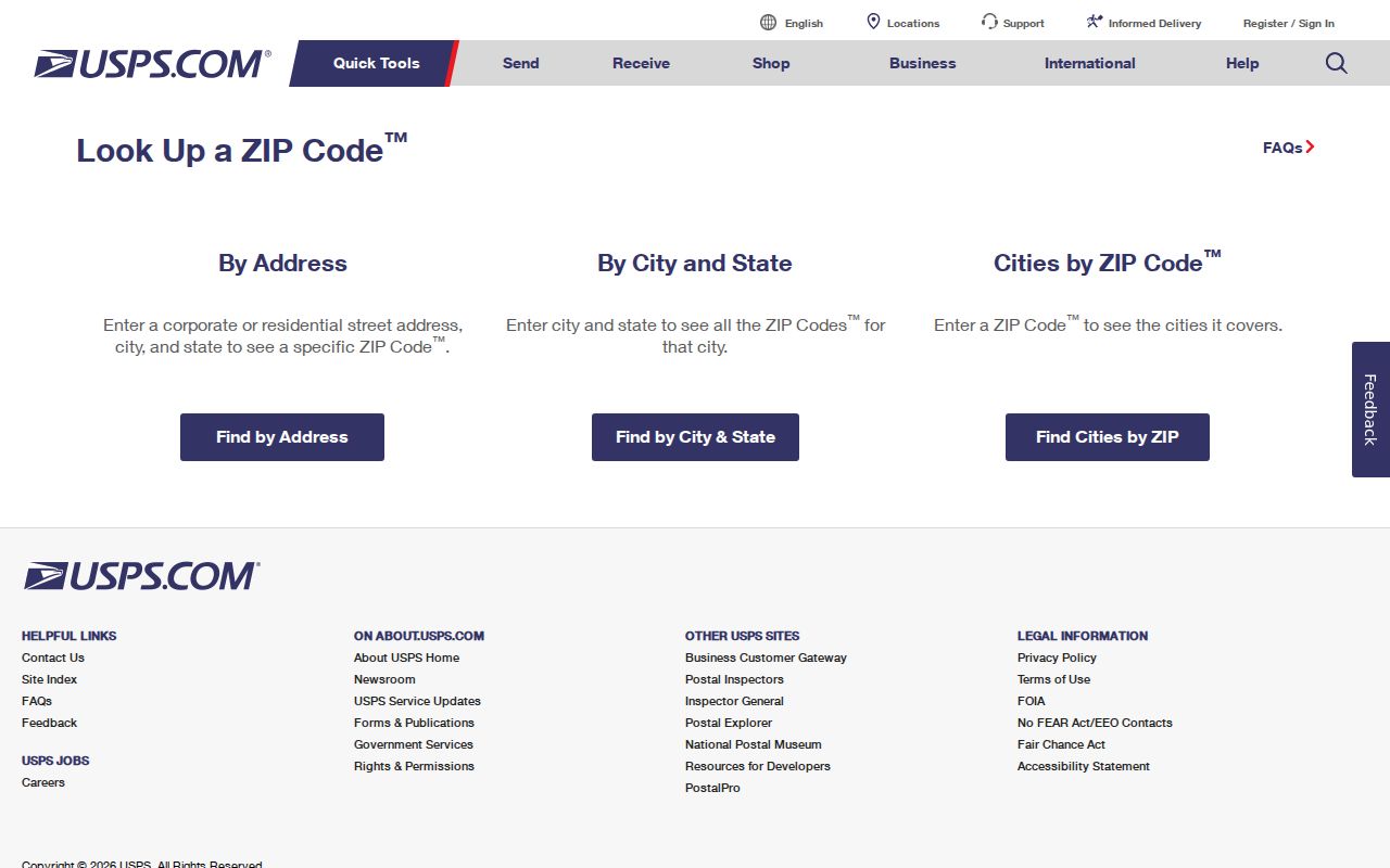
The USPS screen belongs beside, not instead of, the county parcel and legal-description records that answer property questions.
Lafayette ZIP Code Filters in County Records
Boulder County portals answer different questions about an address. The Boulder Treasurer situs search requires a street name and accepts city and ZIP as optional fields. It has no documented owner-name search. The Assessor Property Search accepts address, owner, street, subdivision, account, parcel, and S-T-R searches, but no ZIP filter is documented in the inspected interface. A voter report supplies City, State, and ZIP columns for local filtering, while confidential voters are excluded.
These limits matter for the directory. A Treasurer match is a situs or tax-search result. An Assessor match is a property record with owner, mailing, legal, and parcel fields. A voter report is a registration extract with its own exclusions. A USPS match is delivery information. Use the portal that fits the question instead of treating one ZIP field as a universal resident search.
| Portal | ZIP-capable field or mode | What it returns | Limit |
|---|---|---|---|
| Boulder Treasurer | Situs street required; city and ZIP optional | Tax and situs matches | No Owner Search on the Treasurer site |
| Boulder Assessor | Address, owner, street, subdivision, account, parcel, or S-T-R | Parcel and property details | No documented ZIP-specific filter |
| Boulder County voter data | City, State, and ZIP columns in allowed reports | Local filtering of registered voters | Confidential voters omitted; reports are not every resident |
Boulder County Election Data Access provides report and other-data request routes. The elections office is at 1750 33rd Street Suite 200, Boulder, with vote@bouldercounty.gov and 303-413-7740; documented hours are Monday-Thursday 7:30-5, closed Friday.
The county’s GIS program supplies public parcel, road, precinct, zoning, flood, and land-use layers. If a web result is missing, the Assessor contact route is 303-441-3530 or assessor@bouldercounty.gov; the Lafayette drop box and branch route at 1755 S Public Road is documented for Tuesday service. Ask the custodian rather than inventing a ZIP filter.
The Treasurer help page illustrates the situs city and ZIP search controls used for a Lafayette address.
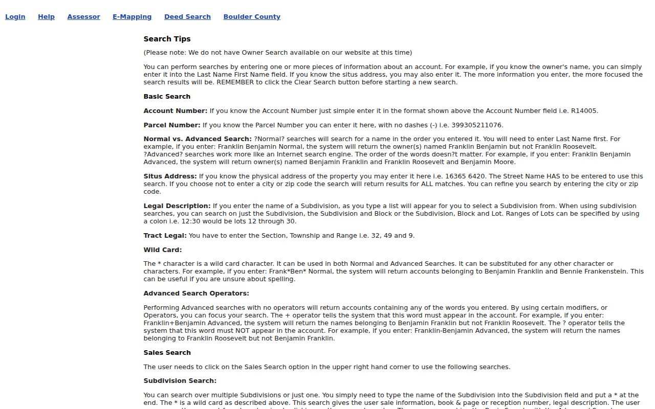
The image reinforces the key boundary: a situs search may accept a ZIP, but it is not an owner-name directory.
Lafayette Situs, Mailing, Legal, ZIP
A reliable Lafayette postal worksheet carries four labels instead of one blended address. The situs address identifies the physical parcel. The mailing address identifies where tax or other notices are sent. The legal description identifies the lot, subdivision, tract, or other parcel terms used in the property and recording systems. The ZIP identifies a postal delivery area. They may agree, but none should be substituted for another.
- Situs address
- The physical location used by the property or tax record; the Treasurer’s search is built around this field.
- Mailing address
- The destination for notices or correspondence; it can differ from the physical parcel and can be outside Lafayette.
- Legal description
- The parcel description used to bridge an address to a lot, subdivision, tract, or recorder document.
- ZIP
- The postal delivery code returned by USPS or printed in a record; it does not prove ownership, occupancy, or city limits.
The Assessor property card can show owner, mailing address, legal description, account, parcel, subdivision, neighborhood, and market-area fields. The Treasurer’s situs result and the USPS result should be retained beside those fields. A record that says Lafayette in one place and Louisville or Erie in another may be describing different geographies rather than containing a simple error.
Note: Use the legal description to bridge parcel and deed work; use the ZIP to verify delivery, not to decide who owns or lives at the address.
ZIP Codes Are Not Lafayette City Limits
Postal routes and municipal boundaries are built for different purposes. Lafayette sits in Boulder County beside Louisville, Erie, and unincorporated county geography. A mailing label can reflect a carrier route while a parcel layer reflects a city boundary, and a historic directory can use a publication-era place name or street number. The 80027 and 80516 delivery notices show why the directory must describe the mismatch instead of flattening it.
No official complete ZIP polygon or city-limit crosswalk for Lafayette was located in the research. That is a preserved research gap, not permission to draw a boundary from a search result. For a disputed edge address, save the USPS output, parcel map, city-limit layer, situs field, legal description, and the date of the check. If those records still differ, ask the relevant county or city custodian which layer controls the question.
Boundary warning. Do not label 80027 or 80516 a Lafayette city ZIP without address verification, and do not use any ZIP alone as proof that a person lives there.
Lafayette ZIP Geography and Neighborhood Labels
A postal code can touch several local labels without making them equivalent. Boulder County GIS offers roads, parcel, precinct, zoning, flood, open-space, and public-safety layers. Lafayette also publishes complementary ArcGIS Hosted services. Those layers can help place an address, but their update dates and purposes vary. A neighborhood name, subdivision, precinct, or market area is an additional geography, not a hidden ZIP definition.
The city’s compact historic core, newer subdivisions, and edge conditions make this distinction useful. The directory can narrow a delivery search, while a parcel map can locate the property and a voter report can show an allowed registration field. No school assignment or utility-customer conclusion should be inferred from a ZIP, and no complete public resident list was located for the postal area.
When a search starts with an old directory, add the historic street and number to the worksheet. Lafayette’s original plat, later westward growth, and 1950s South Public Road renumbering can separate a publication address from a current postal result. The ZIP is one comparison field in that chain, not the chain itself.
Finding Residents Within One ZIP Code
A lawful ZIP-based records search should move from delivery verification to the record system that can answer the question. The steps below keep a Lafayette postal label from becoming a substitute for a name, parcel, or occupancy finding. A report can be filtered locally, but its scope and exclusions remain part of the result.
- Run the specific street through USPS By Address and save the returned city and ZIP with the date checked.
- For a tax or situs question, use the Boulder Treasurer street search, adding city or ZIP only when it helps narrow the result.
- For a property owner or parcel question, use Assessor Property Search by address, street, owner, subdivision, account, parcel, or S-T-R; do not assume a ZIP filter exists.
- For an allowed voter-data question, download the county report and filter its City, State, and ZIP columns; remember that confidential voters are omitted.
- Carry the situs, mailing, legal, and ZIP values into the next record step, then use the Lafayette by-street address directory for street-level work.
The result is a set of records with different meanings, not a single ZIP-wide roster. A property search may return an assessed owner and mailing address. A voter report may contain an allowed registration record, including inactive status, but not every person at a parcel. USPS can confirm delivery geography but not a person. Write the source beside every name or address before comparing them.
Historical Directories and ZIP Geography
Older Lafayette city directories predate modern ZIP use and should not be searched as though they were postal databases. The local directory shelf is documented for 1892-1978, and Boulder regional volumes that include Lafayette are identified for 1926, 1928, 1930, and 1932. The 1902 A. A. Paddock telephone subscribers record is another dated clue. These publications may print a city, street, or telephone area, but they do not provide a current ZIP polygon.
For a historical address, first copy the publication’s exact number and city line. Then test the modern street through USPS and compare it with the parcel’s legal description. If the number changed, use the historic survey, nearby entries, business name, or map layer to bridge the two. A modern ZIP can help describe today’s delivery route, but it cannot rewrite an old directory entry.
That distinction is especially important near the Lafayette edge. A later postal realignment may place an address in 80027 or 80516, while an older volume may have used Lafayette, Boulder, Louisville, or another local label. Preserve the publication date and the modern verification as separate facts.
The Lafayette ZIP Research Worksheet
A short worksheet makes conflicting address labels easier to audit. It also creates a clean handoff when the next step belongs to the Assessor, Treasurer, elections office, USPS, or a city or county GIS custodian. Keep the source URL and search date with the value rather than copying only the preferred city name.
| Street and unit | Exact address entered into USPS and any county portal. |
|---|---|
| USPS result | Returned city, state, ZIP, and date checked. |
| Situs | Physical address returned by the Treasurer or Assessor. |
| Mailing | Tax or notice destination shown on the property record. |
| Legal and parcel | Legal description, account, parcel, subdivision, or tract bridge. |
| City or GIS layer | Boundary, precinct, neighborhood, road, or parcel label and its source. |
| Voter report | Allowed City, State, ZIP, status, and report date; confidential voters are not included. |
The worksheet does not create a complete Lafayette resident directory. It preserves the limits of each source and makes a later correction possible. The central myth to avoid is that a postal code, an owner field, or a postal city line can answer every question about a person. Each field has a custodian and a defined use.
Note: The strongest Lafayette ZIP result is a verified address trail with each geography labeled, dated, and tied to its custodian.